Biggar Gardens sign
Introduction
The photograph on this page of Biggar Gardens sign by Jonathan Wilkins as part of the Geograph project.
The Geograph project started in 2005 with the aim of publishing, organising and preserving representative images for every square kilometre of Great Britain, Ireland and the Isle of Man.

There are currently over 7.5m images from over 14,400 individuals and you can help contribute to the project by visiting https://www.geograph.org.uk
Biggar Gardens sign
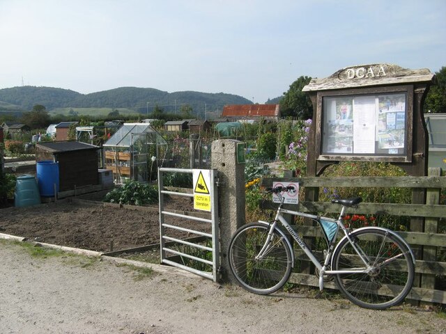
Image: © Jonathan Wilkins Taken: 5 Sep 2021
The sign at the entrance to Biggar's Gardens, comprising allotments and community space run by the Dalbeattie Community Allotments Association. The site was originally the Munches brick and tile works which had clay from the alluvium of the Urr valley to the west.
Images are licensed for reuse under creativecommons.org/licenses/by-sa/2.0
Image Location
Latitude
54.927495
Longitude
-3.827314