Port Street
Introduction
The photograph on this page of Port Street by Jonathan Wilkins as part of the Geograph project.
The Geograph project started in 2005 with the aim of publishing, organising and preserving representative images for every square kilometre of Great Britain, Ireland and the Isle of Man.

There are currently over 7.5m images from over 14,400 individuals and you can help contribute to the project by visiting https://www.geograph.org.uk
Port Street
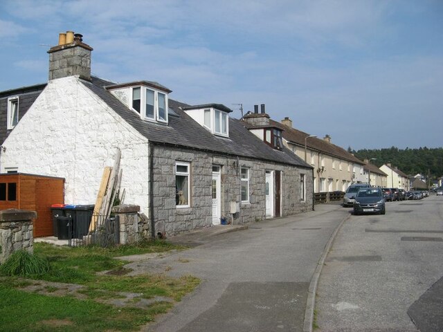
Image: © Jonathan Wilkins Taken: 5 Sep 2021
Port Street shows its origins, with modern housing leading away from High Street towards the site of Dalbeattie Quay and its nucleus of older houses. The granite cottages with dormers are so characteristic of the town and district.
Images are licensed for reuse under creativecommons.org/licenses/by-sa/2.0
Image Location
Latitude
54.92558
Longitude
-3.82317