Meanwood Cricket Club
Introduction
The photograph on this page of Meanwood Cricket Club by Martin Rankin as part of the Geograph project.
The Geograph project started in 2005 with the aim of publishing, organising and preserving representative images for every square kilometre of Great Britain, Ireland and the Isle of Man.

There are currently over 7.5m images from over 14,400 individuals and you can help contribute to the project by visiting https://www.geograph.org.uk
Meanwood Cricket Club
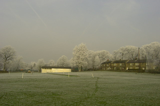
Image: © Martin Rankin Taken: 20 Feb 2008
Looking north between Wood Nook and the Myrtle Public House towards Parkside Road.
Images are licensed for reuse under creativecommons.org/licenses/by-sa/2.0
Image Location
Latitude
53.83875
Longitude
-1.572788