Rubble at woodland edge
Introduction
The photograph on this page of Rubble at woodland edge by Robin Webster as part of the Geograph project.
The Geograph project started in 2005 with the aim of publishing, organising and preserving representative images for every square kilometre of Great Britain, Ireland and the Isle of Man.

There are currently over 7.5m images from over 14,400 individuals and you can help contribute to the project by visiting https://www.geograph.org.uk
Rubble at woodland edge
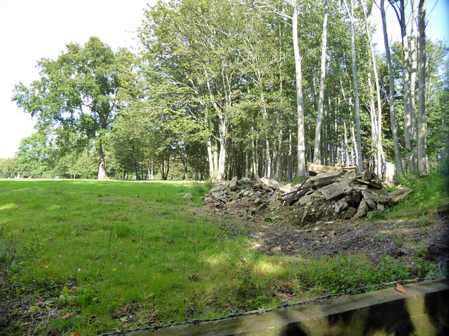
Image: © Robin Webster Taken: 22 Sep 2021
The rubble appears to have been imported, there was no building on the spot. The woodland has been mapped as Burleigh Larches, but there seems to be no larches now.
Images are licensed for reuse under creativecommons.org/licenses/by-sa/2.0
Image Location
Latitude
51.118919
Longitude
-0.067512