Boundary Marker, Mapperley
Introduction
The photograph on this page of Boundary Marker, Mapperley by Nick Osmond as part of the Geograph project.
The Geograph project started in 2005 with the aim of publishing, organising and preserving representative images for every square kilometre of Great Britain, Ireland and the Isle of Man.

There are currently over 7.5m images from over 14,400 individuals and you can help contribute to the project by visiting https://www.geograph.org.uk
Boundary Marker, Mapperley
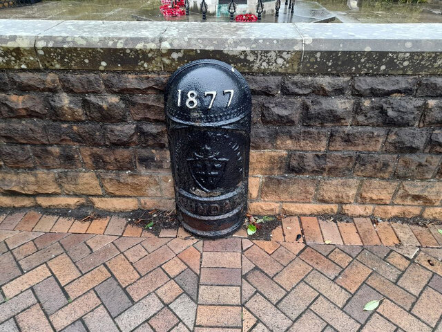
Image: © Nick Osmond Taken: 30 Sep 2021
At the top end of Woodthorpe Drive where it meets Woodborough Road. On the wall surrounding the monument. Listed Grade II see https://historicengland.org.uk/listing/the-list/list-entry/1270396 Inscription: 1877 // Borough of Nottingham // Boundary Milestone Society National ID: NT_NOT16pb
Images are licensed for reuse under creativecommons.org/licenses/by-sa/2.0
Image Location
Latitude
52.983447
Longitude
-1.123278