Under the M6
Introduction
The photograph on this page of Under the M6 by Anne Burgess as part of the Geograph project.
The Geograph project started in 2005 with the aim of publishing, organising and preserving representative images for every square kilometre of Great Britain, Ireland and the Isle of Man.

There are currently over 7.5m images from over 14,400 individuals and you can help contribute to the project by visiting https://www.geograph.org.uk
Under the M6
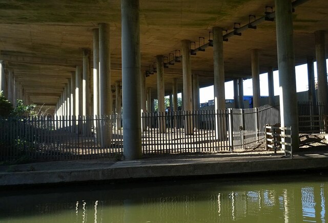
Image: © Anne Burgess Taken: 23 Sep 2021
The serried ranks of pillars support the M6 bridge as it crosses the Coventry Canasl.
Images are licensed for reuse under creativecommons.org/licenses/by-sa/2.0
Image Location


Leaflet Map data © OpenStreetMap
Latitude
52.456589
Longitude
-1.480175