Bilingual name sign, Red House Lane, Shirenewton
Introduction
The photograph on this page of Bilingual name sign, Red House Lane, Shirenewton by Jaggery as part of the Geograph project.
The Geograph project started in 2005 with the aim of publishing, organising and preserving representative images for every square kilometre of Great Britain, Ireland and the Isle of Man.

There are currently over 7.5m images from over 14,400 individuals and you can help contribute to the project by visiting https://www.geograph.org.uk
Bilingual name sign, Red House Lane, Shirenewton
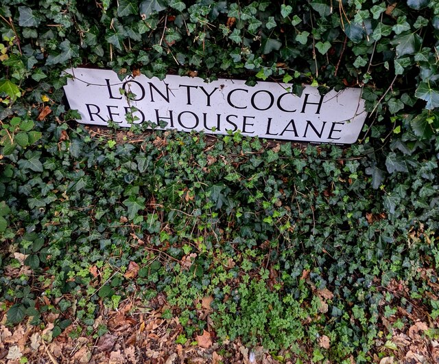
Image: © Jaggery Taken: 26 Sep 2021
The sign facing Crick Road shows RED HOUSE LANE and its Welsh equivalent.
Images are licensed for reuse under creativecommons.org/licenses/by-sa/2.0
Image Location
Latitude
51.638423
Longitude
-2.753523