Whittlesford: West End - blue sky and white walls
Introduction
The photograph on this page of Whittlesford: West End - blue sky and white walls by John Sutton as part of the Geograph project.
The Geograph project started in 2005 with the aim of publishing, organising and preserving representative images for every square kilometre of Great Britain, Ireland and the Isle of Man.

There are currently over 7.5m images from over 14,400 individuals and you can help contribute to the project by visiting https://www.geograph.org.uk
Whittlesford: West End - blue sky and white walls
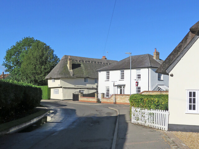
Image: © John Sutton Taken: 29 Sep 2021
These are three of many Grade II listed houses in the village. Charity Farmhouse, on the left, dates from the early sixteenth century. A blue-sky day followed torrential downpours the evening before.
Images are licensed for reuse under creativecommons.org/licenses/by-sa/2.0
Image Location
Latitude
52.111319
Longitude
0.145983