East Portal Bolsover Tunnel
Introduction
The photograph on this page of East Portal Bolsover Tunnel by Richard Bird as part of the Geograph project.
The Geograph project started in 2005 with the aim of publishing, organising and preserving representative images for every square kilometre of Great Britain, Ireland and the Isle of Man.

There are currently over 7.5m images from over 14,400 individuals and you can help contribute to the project by visiting https://www.geograph.org.uk
East Portal Bolsover Tunnel
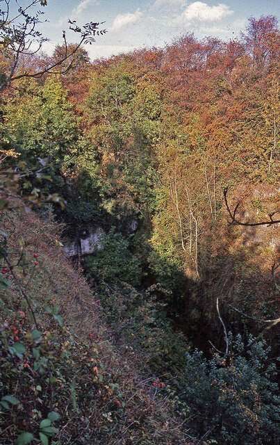
Image: © Richard Bird Taken: 10 Oct 1990
This tunnel, which was subjected to considerable subsidence from mining, eventually closed for this reason. It was 1 mile 865 yards long and on the old line from Chesterfield towards the East Coast. Situated in an extremely deep cutting it emerged by the village of Scarcliffe.
Images are licensed for reuse under creativecommons.org/licenses/by-sa/2.0
Image Location
Latitude
53.211896
Longitude
-1.260398