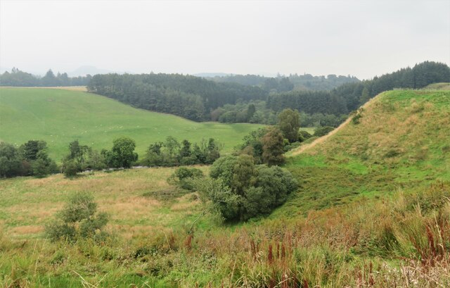
Slopes above the Prosen Water
Introduction
The photograph on this page of Slopes above the Prosen Water by Gordon Hatton as part of the Geograph project.
The Geograph project started in 2005 with the aim of publishing, organising and preserving representative images for every square kilometre of Great Britain, Ireland and the Isle of Man.
There are currently over 7.5m images from over 14,400 individuals and you can help contribute to the project by visiting https://www.geograph.org.uk

Image: © Gordon Hatton Taken: 14 Sep 2021
Taken from the minor road that runs along the top of a steep bank leading down to the Prosen Water. The road itself is almost level on a small ridge, but there is steep ground dropping off within a few metres either side, that to the south dropping down to the little Quharity Burn which follows a very strange course much influenced by glacial action. I suspect that the ridge from which the photo was taken is also of glacial origin. The Geology of Britain website confirms that the superficial deposits are glaciofluvial whilst the hidden bedrock is a conglomerate of the Devonian period, thus south of the Highland boundary fault.

