House at crossroad near Beausale
Introduction
The photograph on this page of House at crossroad near Beausale by Alan Hughes as part of the Geograph project.
The Geograph project started in 2005 with the aim of publishing, organising and preserving representative images for every square kilometre of Great Britain, Ireland and the Isle of Man.

There are currently over 7.5m images from over 14,400 individuals and you can help contribute to the project by visiting https://www.geograph.org.uk
House at crossroad near Beausale
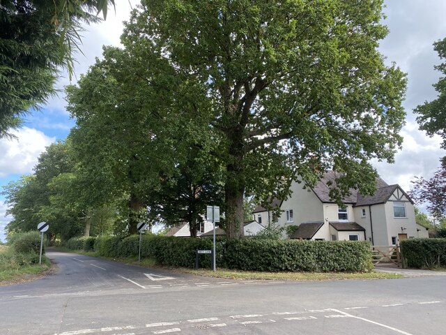
Image: © Alan Hughes Taken: 25 Sep 2021
I wonder how ‘Dirty Lane’ got its name.
Images are licensed for reuse under creativecommons.org/licenses/by-sa/2.0
Image Location
Latitude
52.33494
Longitude
-1.647587