Dee saltmarsh, Gayton
Introduction
The photograph on this page of Dee saltmarsh, Gayton by Sue Adair as part of the Geograph project.
The Geograph project started in 2005 with the aim of publishing, organising and preserving representative images for every square kilometre of Great Britain, Ireland and the Isle of Man.

There are currently over 7.5m images from over 14,400 individuals and you can help contribute to the project by visiting https://www.geograph.org.uk
Dee saltmarsh, Gayton
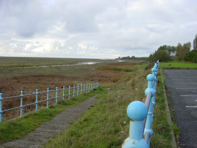
Image: © Sue Adair Taken: 22 Oct 2005
View of the Dee saltmarsh looking Northwest from Riverbank Road, Gayton. The promenade once led on to Gayton sands but now it is mainly used by dog walkers and birdwatchers who come to look at the many species of waders, raptors and other estuary feeders.
Images are licensed for reuse under creativecommons.org/licenses/by-sa/2.0
Image Location


Leaflet Map data © OpenStreetMap
Latitude
53.316252
Longitude
-3.110742