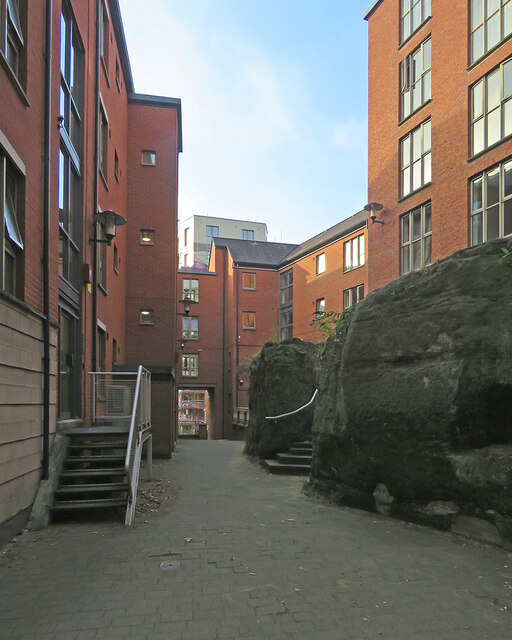
Chardlace Walk
Introduction
The photograph on this page of Chardlace Walk by John Sutton as part of the Geograph project.
The Geograph project started in 2005 with the aim of publishing, organising and preserving representative images for every square kilometre of Great Britain, Ireland and the Isle of Man.
There are currently over 7.5m images from over 14,400 individuals and you can help contribute to the project by visiting https://www.geograph.org.uk

Image: © John Sutton Taken: 22 Sep 2021
The Saxon burgh which became Nottingham developed at the top of a sandstone cliff which overlooked the meadows north of the River Trent (and at that time the course of the River Leen, a tributary of the Trent, since culverted and diverted). This recent development at the base of the cliff, between Hollowstone and Malin Hill (ahead) makes a feature of the sandstone outcrop on the right.

