Under The A19 Viaduct
Introduction
The photograph on this page of Under The A19 Viaduct by David Robinson as part of the Geograph project.
The Geograph project started in 2005 with the aim of publishing, organising and preserving representative images for every square kilometre of Great Britain, Ireland and the Isle of Man.

There are currently over 7.5m images from over 14,400 individuals and you can help contribute to the project by visiting https://www.geograph.org.uk
Under The A19 Viaduct
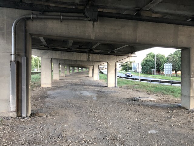
Image: © David Robinson Taken: 24 Sep 2021
Underneath the elevated section of the A19 in the south of Stockton as the road starts to rise on the viaduct that carries it over the river Tees.
Images are licensed for reuse under creativecommons.org/licenses/by-sa/2.0
Image Location
Latitude
54.577266
Longitude
-1.274727