Creedy Drive, Christchurch
Introduction
The photograph on this page of Creedy Drive, Christchurch by Malc McDonald as part of the Geograph project.
The Geograph project started in 2005 with the aim of publishing, organising and preserving representative images for every square kilometre of Great Britain, Ireland and the Isle of Man.

There are currently over 7.5m images from over 14,400 individuals and you can help contribute to the project by visiting https://www.geograph.org.uk
Creedy Drive, Christchurch
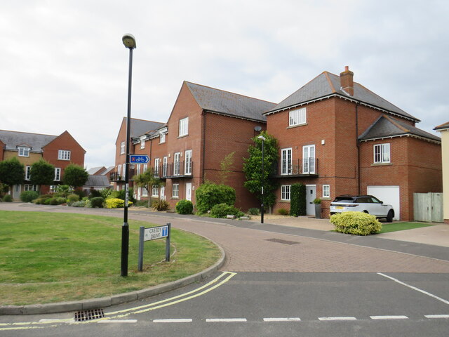
Image: © Malc McDonald Taken: 20 Aug 2021
Creedy Drive is a residential cul-de-sac in Christchurch. The small blue sign attached to the lamp post indicates the route of National Cycle Network route 2.
Images are licensed for reuse under creativecommons.org/licenses/by-sa/2.0
Image Location


Leaflet Map data © OpenStreetMap
Latitude
50.730651
Longitude
-1.780472