Church Farm, Kemeys Commander
Introduction
The photograph on this page of Church Farm, Kemeys Commander by M J Roscoe as part of the Geograph project.
The Geograph project started in 2005 with the aim of publishing, organising and preserving representative images for every square kilometre of Great Britain, Ireland and the Isle of Man.

There are currently over 7.5m images from over 14,400 individuals and you can help contribute to the project by visiting https://www.geograph.org.uk
Church Farm, Kemeys Commander
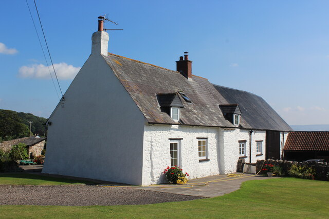
Image: © M J Roscoe Taken: 15 Sep 2021
The whitewashed stone farmhouse with attached barn was a parsonage in C16.
Images are licensed for reuse under creativecommons.org/licenses/by-sa/2.0
Image Location
Latitude
51.737477
Longitude
-2.944449