Blackheath Mansion across the Alde
Introduction
The photograph on this page of Blackheath Mansion across the Alde by SK53 as part of the Geograph project.
The Geograph project started in 2005 with the aim of publishing, organising and preserving representative images for every square kilometre of Great Britain, Ireland and the Isle of Man.

There are currently over 7.5m images from over 14,400 individuals and you can help contribute to the project by visiting https://www.geograph.org.uk
Blackheath Mansion across the Alde
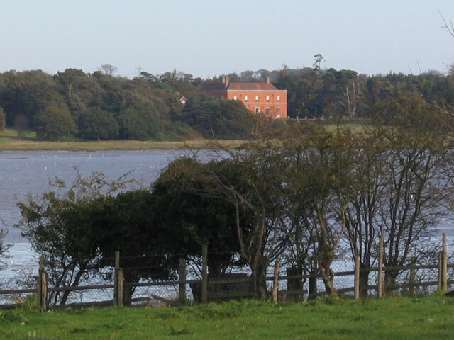
Image: © SK53 Taken: 5 Nov 2005
The Ordnance Survey seem to use "Black Heath", but predominant local usage (including the company of the owners is Blackheath"). The house itself is not listed, but a cottage behind is Grade II listed. A bit of history of the house is here http://friston.onesuffolk.net/home/history/
Images are licensed for reuse under creativecommons.org/licenses/by-sa/2.0
Image Location
Latitude
52.166305
Longitude
1.539015