Lane near Red Stables
Introduction
The photograph on this page of Lane near Red Stables by Eirian Evans as part of the Geograph project.
The Geograph project started in 2005 with the aim of publishing, organising and preserving representative images for every square kilometre of Great Britain, Ireland and the Isle of Man.

There are currently over 7.5m images from over 14,400 individuals and you can help contribute to the project by visiting https://www.geograph.org.uk
Lane near Red Stables
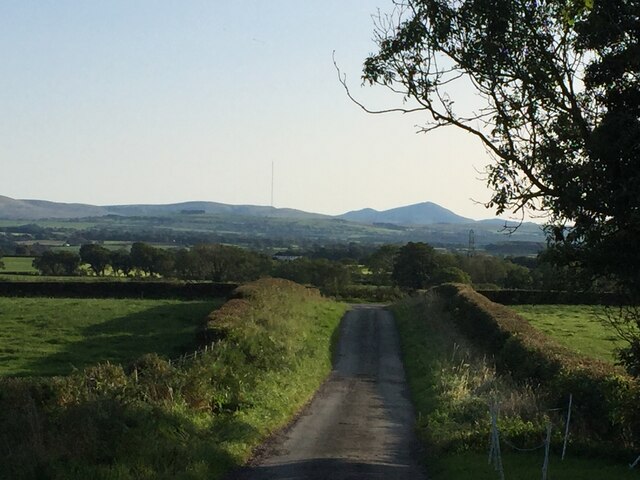
Image: © Eirian Evans Taken: 20 Sep 2020
Dropping south, the view extends to the northern Lake District fells. Just left of centre on the horizon is the Skelton Transmitter mast, at 365m the highest structure in the UK.
Images are licensed for reuse under creativecommons.org/licenses/by-sa/2.0
Image Location
Latitude
54.859279
Longitude
-3.075322