Blue Waters
Introduction
The photograph on this page of Blue Waters by Ian Capper as part of the Geograph project.
The Geograph project started in 2005 with the aim of publishing, organising and preserving representative images for every square kilometre of Great Britain, Ireland and the Isle of Man.

There are currently over 7.5m images from over 14,400 individuals and you can help contribute to the project by visiting https://www.geograph.org.uk
Blue Waters
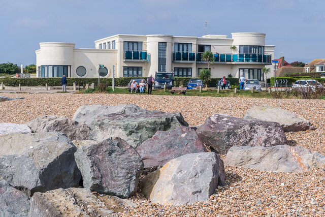
Image: © Ian Capper Taken: 21 Sep 2021
Block of 9 flats on Sea Drive completed in 2009, replacing a mid 20th Century house named Lane End.
Images are licensed for reuse under creativecommons.org/licenses/by-sa/2.0
Image Location
Latitude
50.803231
Longitude
-0.440394