Track south of Stonepit Farm
Introduction
The photograph on this page of Track south of Stonepit Farm by Neil Theasby as part of the Geograph project.
The Geograph project started in 2005 with the aim of publishing, organising and preserving representative images for every square kilometre of Great Britain, Ireland and the Isle of Man.

There are currently over 7.5m images from over 14,400 individuals and you can help contribute to the project by visiting https://www.geograph.org.uk
Track south of Stonepit Farm
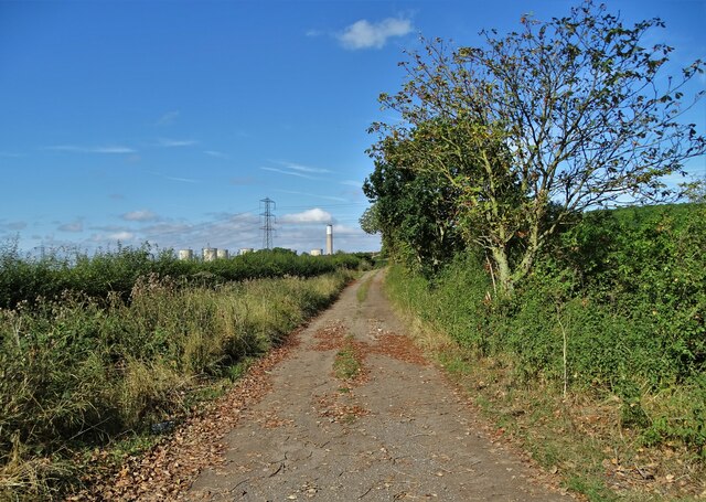
Image: © Neil Theasby Taken: 22 Sep 2021
It is also a public footpath that lads eventually to Ratcliffe on Soar. You can just see the power station ahead.
Images are licensed for reuse under creativecommons.org/licenses/by-sa/2.0
Image Location
Latitude
52.86039
Longitude
-1.228363