Kenilworth Common
Introduction
The photograph on this page of Kenilworth Common by A J Paxton as part of the Geograph project.
The Geograph project started in 2005 with the aim of publishing, organising and preserving representative images for every square kilometre of Great Britain, Ireland and the Isle of Man.

There are currently over 7.5m images from over 14,400 individuals and you can help contribute to the project by visiting https://www.geograph.org.uk
Kenilworth Common
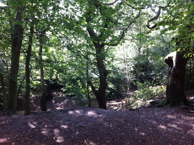
Image: © A J Paxton Taken: 18 Sep 2021
Once a heath used for grazing farm animals, the common was colonised by birch and oak trees once grazing stopped, and is now a wood with a few remnants of heathland. The land slopes down to the Finham Brook and is crossed by the Coventry to Leamington railway. The common is now a local nature reserve: see the website of the Warwickshire Wildlife Trust here https://www.warwickshirewildlifetrust.org.uk/reserves/KenilworthCommon .
Images are licensed for reuse under creativecommons.org/licenses/by-sa/2.0
Image Location


Leaflet Map data © OpenStreetMap
Latitude
52.354717
Longitude
-1.566089