Bridge over the Finham Brook, Odibourne Allotments, Kenilworth
Introduction
The photograph on this page of Bridge over the Finham Brook, Odibourne Allotments, Kenilworth by A J Paxton as part of the Geograph project.
The Geograph project started in 2005 with the aim of publishing, organising and preserving representative images for every square kilometre of Great Britain, Ireland and the Isle of Man.

There are currently over 7.5m images from over 14,400 individuals and you can help contribute to the project by visiting https://www.geograph.org.uk
Bridge over the Finham Brook, Odibourne Allotments, Kenilworth
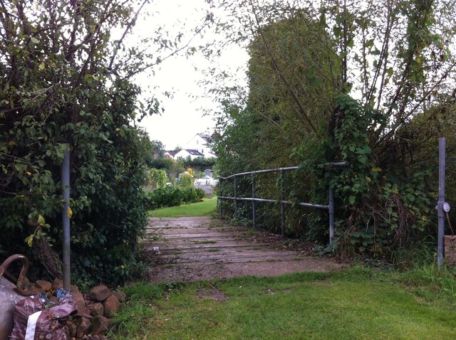
Image: © A J Paxton Taken: 18 Sep 2021
No doubt flooding is another hazard of allotment life here, but the stream must have enriched the fertility of the valley over the years. Not normally accessible to the public, the allotments were open as part of the Heritage Open Days 2021 and Edible England events.
Images are licensed for reuse under creativecommons.org/licenses/by-sa/2.0
Image Location
Latitude
52.352307
Longitude
-1.570664