Odibourne Allotments, Kenilworth, looking towards Lower Ladyes Hills
Introduction
The photograph on this page of Odibourne Allotments, Kenilworth, looking towards Lower Ladyes Hills by A J Paxton as part of the Geograph project.
The Geograph project started in 2005 with the aim of publishing, organising and preserving representative images for every square kilometre of Great Britain, Ireland and the Isle of Man.

There are currently over 7.5m images from over 14,400 individuals and you can help contribute to the project by visiting https://www.geograph.org.uk
Odibourne Allotments, Kenilworth, looking towards Lower Ladyes Hills
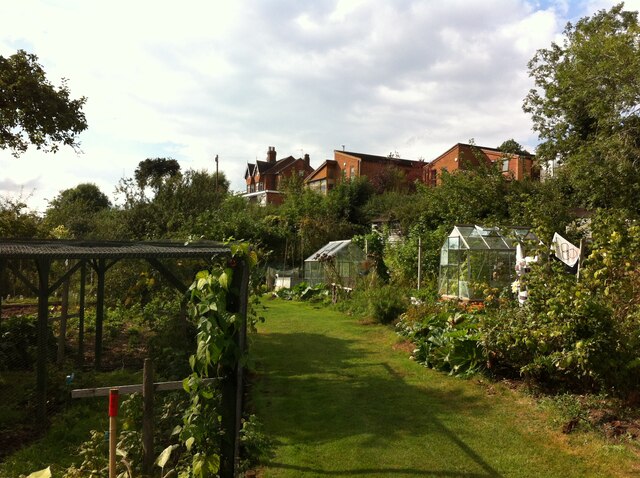
Image: © A J Paxton Taken: 18 Sep 2021
Not normally open to the public, the allotments were welcoming visitors for the day as part of the Heritage Open Days 2021 and Edible England events. A scarecrow in the form of a Tokyo Olympics mascot can be seen to the right of the picture.
Images are licensed for reuse under creativecommons.org/licenses/by-sa/2.0
Image Location


Leaflet Map data © OpenStreetMap
Latitude
52.352311
Longitude
-1.571985