Waltham on the Wolds primary school
Introduction
The photograph on this page of Waltham on the Wolds primary school by Kate Jewell as part of the Geograph project.
The Geograph project started in 2005 with the aim of publishing, organising and preserving representative images for every square kilometre of Great Britain, Ireland and the Isle of Man.

There are currently over 7.5m images from over 14,400 individuals and you can help contribute to the project by visiting https://www.geograph.org.uk
Waltham on the Wolds primary school
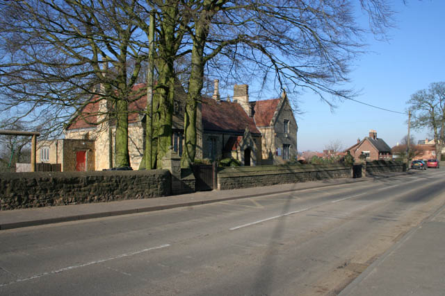
Image: © Kate Jewell Taken: 17 Feb 2008
On the west of the A607, this popular village school serves a wide rural area including the villages of Stonesby, Eaton, Branston and Eastwell
Images are licensed for reuse under creativecommons.org/licenses/by-sa/2.0
Image Location


Leaflet Map data © OpenStreetMap
Latitude
52.815521
Longitude
-0.812957