Northbrook Avenue
Introduction
The photograph on this page of Northbrook Avenue by Bill Boaden as part of the Geograph project.
The Geograph project started in 2005 with the aim of publishing, organising and preserving representative images for every square kilometre of Great Britain, Ireland and the Isle of Man.

There are currently over 7.5m images from over 14,400 individuals and you can help contribute to the project by visiting https://www.geograph.org.uk
Northbrook Avenue
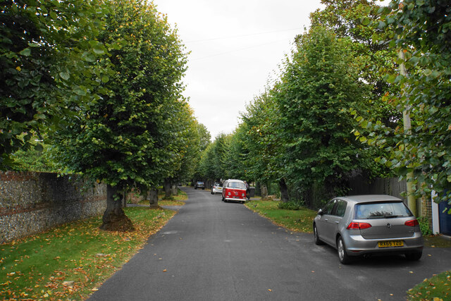
Image: © Bill Boaden Taken: 2 Sep 2021
A residential road at the top of St Giles Hill. The top of the hill here appears perfectly flat.
Images are licensed for reuse under creativecommons.org/licenses/by-sa/2.0
Image Location


Leaflet Map data © OpenStreetMap
Latitude
51.060503
Longitude
-1.301747