Old Boundary Marker on Beacon Park Road, Plymouth
Introduction
The photograph on this page of Old Boundary Marker on Beacon Park Road, Plymouth by T Jenkinson as part of the Geograph project.
The Geograph project started in 2005 with the aim of publishing, organising and preserving representative images for every square kilometre of Great Britain, Ireland and the Isle of Man.

There are currently over 7.5m images from over 14,400 individuals and you can help contribute to the project by visiting https://www.geograph.org.uk
Old Boundary Marker on Beacon Park Road, Plymouth
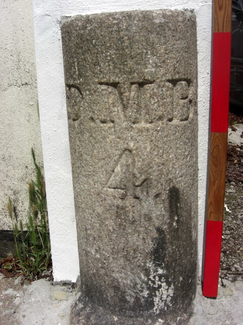
Image: © T Jenkinson Taken: 21 Jul 2012
Municipal Boundary Marker on the north side of Beacon Park Road, Plymouth, against the front garden wall of No. 151. Inscribed D.M.B. (Devonport Municipal Borough) / 4. Devonport borough was established in 1837 following the Municipal Corporations Act 1835. Milestone Society National ID: DV_DMBB02pb
Images are licensed for reuse under creativecommons.org/licenses/by-sa/2.0
Image Location
Latitude
50.393324
Longitude
-4.159792