Ash beside the lane to the sewage works
Introduction
The photograph on this page of Ash beside the lane to the sewage works by David Lally as part of the Geograph project.
The Geograph project started in 2005 with the aim of publishing, organising and preserving representative images for every square kilometre of Great Britain, Ireland and the Isle of Man.

There are currently over 7.5m images from over 14,400 individuals and you can help contribute to the project by visiting https://www.geograph.org.uk
Ash beside the lane to the sewage works
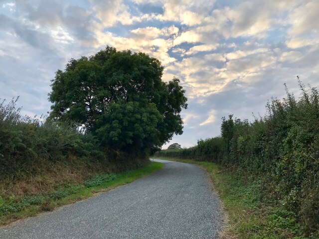
Image: © David Lally Taken: 15 Sep 2021
The Lane between Keeston Bridge and Keeston is wider between the start at the junction with the A487 and the sewage works, obviously for traffic to the works. Compare with this as the lane rises toward Keeston: Image Also look how the more sheltered position allows a more rounded crown in the ash tree.
Images are licensed for reuse under creativecommons.org/licenses/by-sa/2.0
Image Location


Leaflet Map data © OpenStreetMap
Latitude
51.828115
Longitude
-5.039967