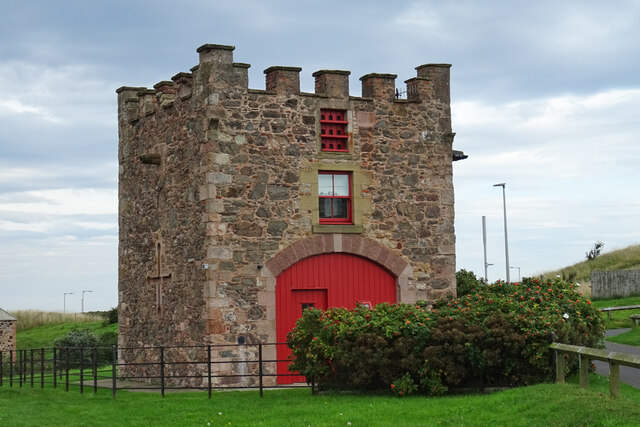
Nisbet's Tower
Introduction
The photograph on this page of Nisbet's Tower by Anne Burgess as part of the Geograph project.
The Geograph project started in 2005 with the aim of publishing, organising and preserving representative images for every square kilometre of Great Britain, Ireland and the Isle of Man.
There are currently over 7.5m images from over 14,400 individuals and you can help contribute to the project by visiting https://www.geograph.org.uk

Image: © Anne Burgess Taken: 17 Sep 2021
Built in the early 19th century and named, presumably, after John Nisbet, for whom Gunsgreen House was built about 1753. 'The Buildings of Scotland' says that it was probably part of a coach-house and stables. The Royal Commission on the Ancient and Historical Monuments of Scotland describes it as a doocot https://canmore.org.uk/site/165426/eyemouth-gunsgreen-house-dovecot but this may have been a later adaptation, perhaps replacing an original window with a panel of nine entry holes for doos. It is a Category B Listed building http://portal.historicenvironment.scot/designation/LB31134.

