River Wey Navigation near Bowers Lock
Introduction
The photograph on this page of River Wey Navigation near Bowers Lock by Nigel Cox as part of the Geograph project.
The Geograph project started in 2005 with the aim of publishing, organising and preserving representative images for every square kilometre of Great Britain, Ireland and the Isle of Man.

There are currently over 7.5m images from over 14,400 individuals and you can help contribute to the project by visiting https://www.geograph.org.uk
River Wey Navigation near Bowers Lock
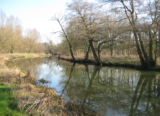
Image: © Nigel Cox Taken: 17 Feb 2008
The towpath on the left forms part of the E2 European Long Distance Footpath which runs from Galway to France's Mediterranean coast. Beyond the towpath and further to the left are the woods of the Sutton Place estate. The apparent rural tranquillity is alas not present because of the continuous noise of the traffic from the A3 road which is just beyond the trees to the right.
Images are licensed for reuse under creativecommons.org/licenses/by-sa/2.0
Image Location
Latitude
51.265311
Longitude
-0.545151