Wigmore buildings [1]
Introduction
The photograph on this page of Wigmore buildings [1] by Michael Dibb as part of the Geograph project.
The Geograph project started in 2005 with the aim of publishing, organising and preserving representative images for every square kilometre of Great Britain, Ireland and the Isle of Man.

There are currently over 7.5m images from over 14,400 individuals and you can help contribute to the project by visiting https://www.geograph.org.uk
Wigmore buildings [1]
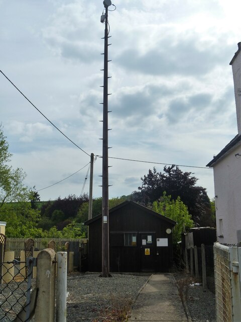
Image: © Michael Dibb Taken: 1 Jun 2021
The telephone exchange with its high mast is adjacent to the village hall in Ford Street. The village of Wigmore is set astride the A4110 road some 8 miles west of Ludlow in the northwest part of Herefordshire. An Anglo-Saxon village which, after the building of the castle, became a small but thriving market town. Wigmore declined when the castle owners moved their administrative centre to Ludlow and reverted to village status.
Images are licensed for reuse under creativecommons.org/licenses/by-sa/2.0
Image Location


Leaflet Map data © OpenStreetMap
Latitude
52.315448
Longitude
-2.857685