The banks of the Siston Brook
Introduction
The photograph on this page of The banks of the Siston Brook by Neil Owen as part of the Geograph project.
The Geograph project started in 2005 with the aim of publishing, organising and preserving representative images for every square kilometre of Great Britain, Ireland and the Isle of Man.

There are currently over 7.5m images from over 14,400 individuals and you can help contribute to the project by visiting https://www.geograph.org.uk
The banks of the Siston Brook
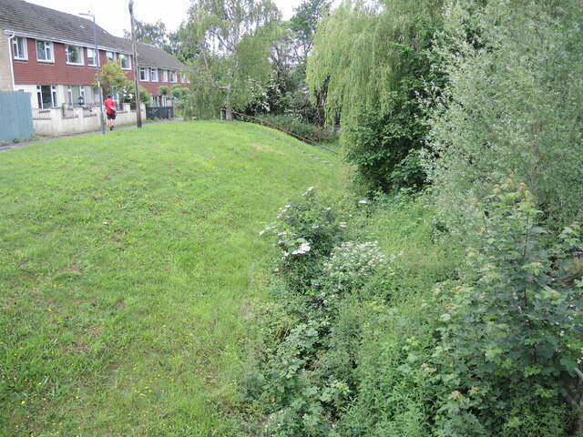
Image: © Neil Owen Taken: 19 Jun 2021
Houses built in the late 1960s have encroached to the top of the steep banks.
Images are licensed for reuse under creativecommons.org/licenses/by-sa/2.0
Image Location


Leaflet Map data © OpenStreetMap
Latitude
51.449429
Longitude
-2.47814