Riverside path north of Edzell
Introduction
The photograph on this page of Riverside path north of Edzell by Gordon Hatton as part of the Geograph project.
The Geograph project started in 2005 with the aim of publishing, organising and preserving representative images for every square kilometre of Great Britain, Ireland and the Isle of Man.

There are currently over 7.5m images from over 14,400 individuals and you can help contribute to the project by visiting https://www.geograph.org.uk
Riverside path north of Edzell
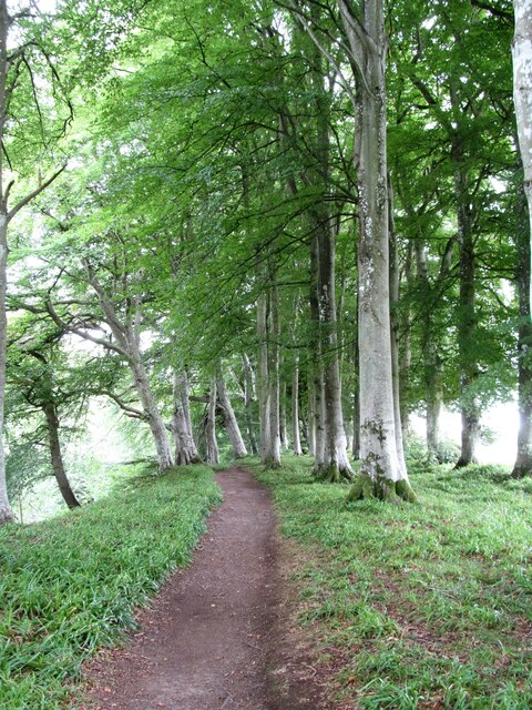
Image: © Gordon Hatton Taken: 12 Sep 2021
This is the path that follows the true right bank of the North Esk river from Gannochy Bridge to Edzell. Well graded and part surfaced, it is a much easier route to follow than the path on the opposite bank.
Images are licensed for reuse under creativecommons.org/licenses/by-sa/2.0
Image Location
Latitude
56.818629
Longitude
-2.650819