Wetland Area
Introduction
The photograph on this page of Wetland Area by David Robinson as part of the Geograph project.
The Geograph project started in 2005 with the aim of publishing, organising and preserving representative images for every square kilometre of Great Britain, Ireland and the Isle of Man.

There are currently over 7.5m images from over 14,400 individuals and you can help contribute to the project by visiting https://www.geograph.org.uk
Wetland Area
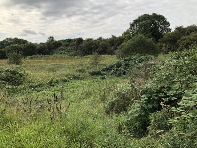
Image: © David Robinson Taken: 18 Sep 2021
Small area of wetland in urban Stockton. Residential estates are hidden by the line of shrubs and trees lining the Durham Coast Railway.
Images are licensed for reuse under creativecommons.org/licenses/by-sa/2.0
Image Location
Latitude
54.580399
Longitude
-1.319075