Unused Land Beside Holme House Prison
Introduction
The photograph on this page of Unused Land Beside Holme House Prison by David Robinson as part of the Geograph project.
The Geograph project started in 2005 with the aim of publishing, organising and preserving representative images for every square kilometre of Great Britain, Ireland and the Isle of Man.

There are currently over 7.5m images from over 14,400 individuals and you can help contribute to the project by visiting https://www.geograph.org.uk
Unused Land Beside Holme House Prison
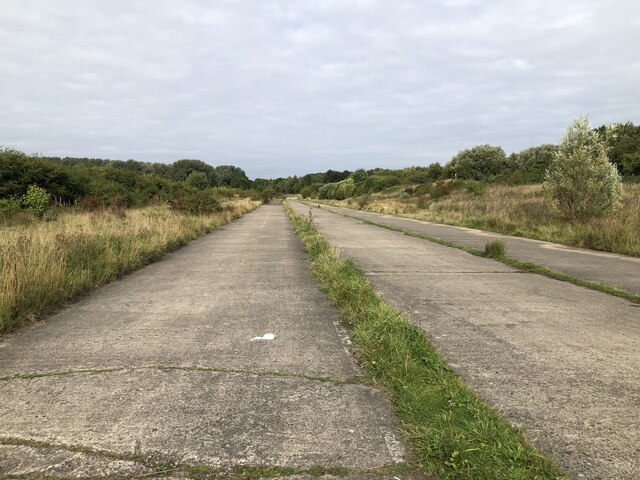
Image: © David Robinson Taken: 18 Sep 2021
It appears that the land has been prepared with an access road and large concrete pad, but no further development has taken place. An old railway alignment runs down the western side and Holme House Prison is on the east. National Cycle Route 1 now uses part of the concrete pad before continuing north using the old railway alignment.
Images are licensed for reuse under creativecommons.org/licenses/by-sa/2.0
Image Location
Latitude
54.577942
Longitude
-1.297921