Outbuildings at The Clarence
Introduction
The photograph on this page of Outbuildings at The Clarence by Trevor Littlewood as part of the Geograph project.
The Geograph project started in 2005 with the aim of publishing, organising and preserving representative images for every square kilometre of Great Britain, Ireland and the Isle of Man.

There are currently over 7.5m images from over 14,400 individuals and you can help contribute to the project by visiting https://www.geograph.org.uk
Outbuildings at The Clarence
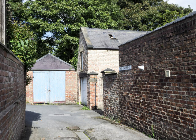
Image: © Trevor Littlewood Taken: 16 Sep 2021
The garage-like building with blue doors is at the road angle where Ninefields and The Clarence meet; both are named roads in Bishop Auckland west of the town centre, but effectively the same road, and a cul-de-sac. The Clarence extends behind the camera position ending at a final house a few properties along.
Images are licensed for reuse under creativecommons.org/licenses/by-sa/2.0
Image Location
Latitude
54.66161
Longitude
-1.682641