Beamsley, Lane Houses
Introduction
The photograph on this page of Beamsley, Lane Houses by Mel Towler as part of the Geograph project.
The Geograph project started in 2005 with the aim of publishing, organising and preserving representative images for every square kilometre of Great Britain, Ireland and the Isle of Man.

There are currently over 7.5m images from over 14,400 individuals and you can help contribute to the project by visiting https://www.geograph.org.uk
Beamsley, Lane Houses
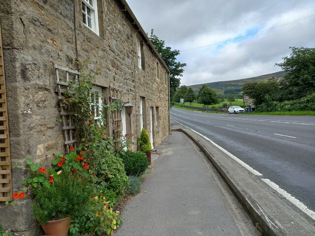
Image: © Mel Towler Taken: 30 Aug 2021
A wider angle showing the cottages called Lane Houses which is on the north side of the A59, and literally roadside. There is a benchmark cut into the stone to the right of the front door of number 4 Lane Houses, and it is on the 2nd course of stone.
Images are licensed for reuse under creativecommons.org/licenses/by-sa/2.0
Image Location


Leaflet Map data © OpenStreetMap
Latitude
53.97211
Longitude
-1.879528