An informal path in the field
Introduction
The photograph on this page of An informal path in the field by Richard Law as part of the Geograph project.
The Geograph project started in 2005 with the aim of publishing, organising and preserving representative images for every square kilometre of Great Britain, Ireland and the Isle of Man.

There are currently over 7.5m images from over 14,400 individuals and you can help contribute to the project by visiting https://www.geograph.org.uk
An informal path in the field
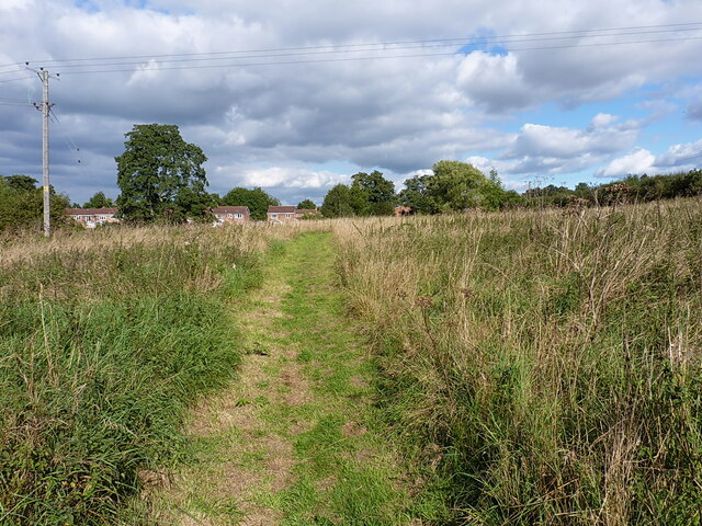
Image: © Richard Law Taken: 16 Sep 2021
This path appears to go nowhere very much at all. Behind me, it fizzled out in long, more or less impenetrable grass/nettles/burdock/brambles etc. Ahead of me, it led to the rear fences of the houses in the distance, but didn't seem to serve any real purpose other than to provide someone's strimmer with a bit of exercise. Rather odd.
Images are licensed for reuse under creativecommons.org/licenses/by-sa/2.0
Image Location


Leaflet Map data © OpenStreetMap
Latitude
52.660386
Longitude
-2.378149