Disturbed ground at Ramshaw
Introduction
The photograph on this page of Disturbed ground at Ramshaw by Trevor Littlewood as part of the Geograph project.
The Geograph project started in 2005 with the aim of publishing, organising and preserving representative images for every square kilometre of Great Britain, Ireland and the Isle of Man.

There are currently over 7.5m images from over 14,400 individuals and you can help contribute to the project by visiting https://www.geograph.org.uk
Disturbed ground at Ramshaw
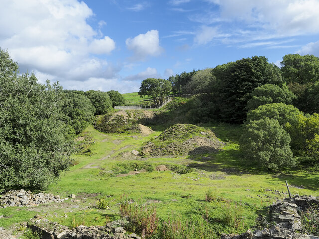
Image: © Trevor Littlewood Taken: 15 Sep 2021
Ramshaw is a dispersed location in the valley of the Bolt's Burn, a tributary of the River Derwent, itself one of the River Tyne. Historically, the valley has been heavily involved in the production of lead, both in the mining of ore and its smelting. There are ruins immediately below the camera location, a small part of them is in view at the foot of the image.
Images are licensed for reuse under creativecommons.org/licenses/by-sa/2.0
Image Location
Latitude
54.820882
Longitude
-2.077628