Storiths, Hill Top Farm
Introduction
The photograph on this page of Storiths, Hill Top Farm by Mel Towler as part of the Geograph project.
The Geograph project started in 2005 with the aim of publishing, organising and preserving representative images for every square kilometre of Great Britain, Ireland and the Isle of Man.

There are currently over 7.5m images from over 14,400 individuals and you can help contribute to the project by visiting https://www.geograph.org.uk
Storiths, Hill Top Farm
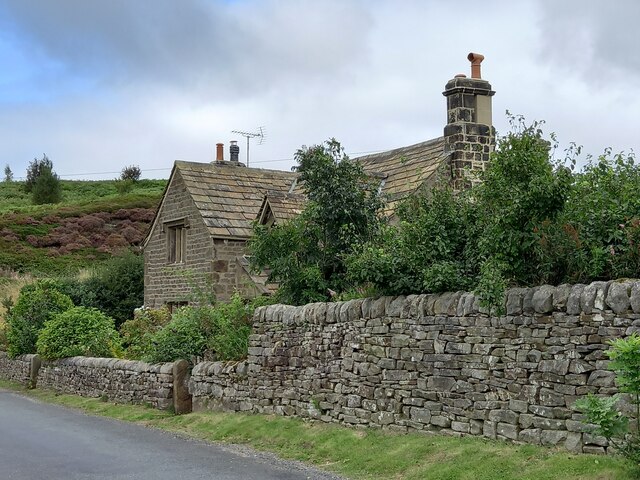
Image: © Mel Towler Taken: 30 Aug 2021
This dwelling is on the east side of Storiths Lane. According to the OS database there is a benchmark cut into the road facing wall. There is plenty of garden vegetation along the front wall of the house covering the lowest stone courses, and no mark was obvious.
Images are licensed for reuse under creativecommons.org/licenses/by-sa/2.0
Image Location


Leaflet Map data © OpenStreetMap
Latitude
53.984058
Longitude
-1.874767