Hewson's Lane Mill, Barton-upon-Humber
Introduction
The photograph on this page of Hewson's Lane Mill, Barton-upon-Humber by Paul Glazzard as part of the Geograph project.
The Geograph project started in 2005 with the aim of publishing, organising and preserving representative images for every square kilometre of Great Britain, Ireland and the Isle of Man.

There are currently over 7.5m images from over 14,400 individuals and you can help contribute to the project by visiting https://www.geograph.org.uk
Hewson's Lane Mill, Barton-upon-Humber
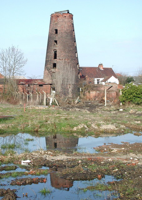
Image: © Paul Glazzard Taken: 16 Feb 2008
Disused windmill off the western end of Hewson's Lane, looking north across a patch of waste ground from Dam Lane.
Images are licensed for reuse under creativecommons.org/licenses/by-sa/2.0
Image Location
Latitude
53.689929
Longitude
-0.445186