Fire station, Kinlochbervie
Introduction
The photograph on this page of Fire station, Kinlochbervie by Richard Webb as part of the Geograph project.
The Geograph project started in 2005 with the aim of publishing, organising and preserving representative images for every square kilometre of Great Britain, Ireland and the Isle of Man.

There are currently over 7.5m images from over 14,400 individuals and you can help contribute to the project by visiting https://www.geograph.org.uk
Fire station, Kinlochbervie
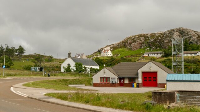
Image: © Richard Webb Taken: 29 Jun 2021
The white dome is a Leica differential GPS transmitter. It enables very accurate GPS surveying and is the current successor to the triangulation station.
Images are licensed for reuse under creativecommons.org/licenses/by-sa/2.0
Image Location


Leaflet Map data © OpenStreetMap
Latitude
58.458846
Longitude
-5.051907