East Brunton Farmhouse
Introduction
The photograph on this page of East Brunton Farmhouse by Phil Thirkell as part of the Geograph project.
The Geograph project started in 2005 with the aim of publishing, organising and preserving representative images for every square kilometre of Great Britain, Ireland and the Isle of Man.

There are currently over 7.5m images from over 14,400 individuals and you can help contribute to the project by visiting https://www.geograph.org.uk
East Brunton Farmhouse
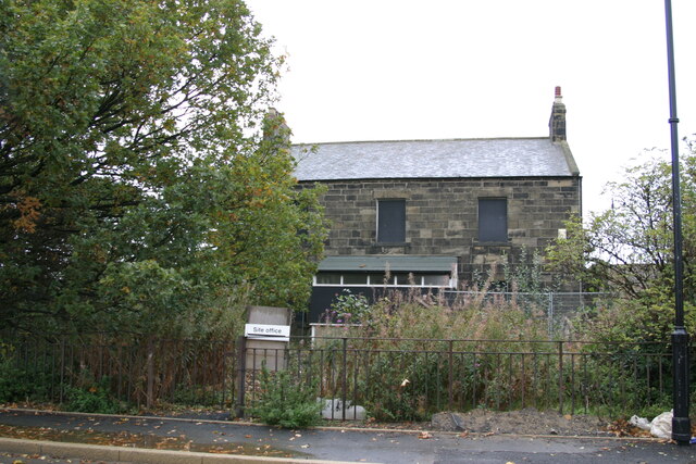
Image: © Phil Thirkell Taken: 26 Oct 2003
A 2003 view of East Brunton Farmhouse, later renovated as a dwelling.
Images are licensed for reuse under creativecommons.org/licenses/by-sa/2.0
Image Location
Latitude
55.028838
Longitude
-1.6336