
The end of the Ashby Canal (Moira to Donisthorpe)
Introduction
The photograph on this page of The end of the Ashby Canal (Moira to Donisthorpe) by Oliver Mills as part of the Geograph project.
The Geograph project started in 2005 with the aim of publishing, organising and preserving representative images for every square kilometre of Great Britain, Ireland and the Isle of Man.

There are currently over 7.5m images from over 14,400 individuals and you can help contribute to the project by visiting https://www.geograph.org.uk
The end of the Ashby Canal (Moira to Donisthorpe)
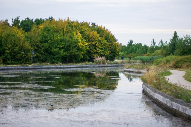
Image: © Oliver Mills Taken: 13 Sep 2021
This isolated stretch of the canal runs from Conkers (Moira) to this point in Donisthorpe, constructed between 1999 and 2005. This will supposedly be extended through Measham and be reconnected to the "real" Ashby canal terminal at Snarestone, finally connecting these few miles of canal to the national network. Despite currently being largely useless for navigation, it is a cherished feature for local walkers and cyclists, acting as a backbone for the Donisthorpe Woodland Park (Dominating the left side of the canal) and the Conkers development.
Images are licensed for reuse under creativecommons.org/licenses/by-sa/2.0
Image Location

Latitude
52.725321
Longitude
-1.528958