
Moira Road, Donisthorpe
Introduction
The photograph on this page of Moira Road, Donisthorpe by Oliver Mills as part of the Geograph project.
The Geograph project started in 2005 with the aim of publishing, organising and preserving representative images for every square kilometre of Great Britain, Ireland and the Isle of Man.

There are currently over 7.5m images from over 14,400 individuals and you can help contribute to the project by visiting https://www.geograph.org.uk
Moira Road, Donisthorpe
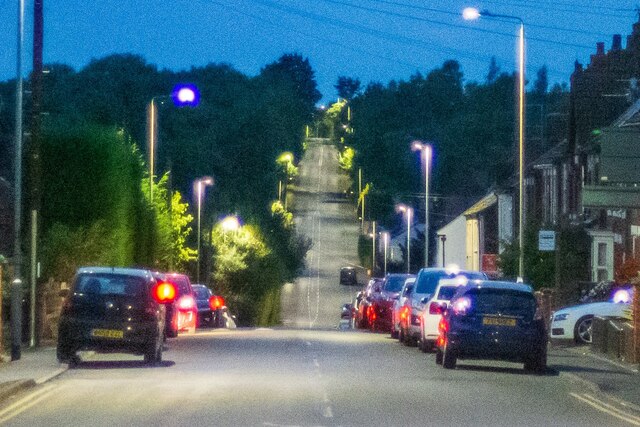
Image: © Oliver Mills Taken: 13 Sep 2021
Taken from the crossroads between Church Street, Ashby Road and Measham Road. Somewhere along this road was a long line of terraced colliery cottages, since demolished probably due to subsidence and poor living conditions. The image has been cropped to emphasise the dramatic slopes along this road. This, in addition to the handheld exposure during deep dusk and the f/1.4 aperture of a rather antiquated lens, creates a rather... dreamy image, to put it politely!
Images are licensed for reuse under creativecommons.org/licenses/by-sa/2.0
Image Location

Latitude
52.724413
Longitude
-1.526895