West Meon Trail and Picnic Area
Introduction
The photograph on this page of West Meon Trail and Picnic Area by Paul Collins as part of the Geograph project.
The Geograph project started in 2005 with the aim of publishing, organising and preserving representative images for every square kilometre of Great Britain, Ireland and the Isle of Man.

There are currently over 7.5m images from over 14,400 individuals and you can help contribute to the project by visiting https://www.geograph.org.uk
West Meon Trail and Picnic Area
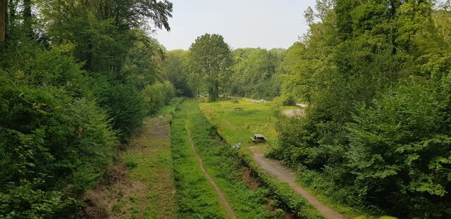
Image: © Paul Collins Taken: 5 Sep 2021
The disused railway station platforms are clearly visible. The picnic area and adjacent car park occupy the former goods yards.
Images are licensed for reuse under creativecommons.org/licenses/by-sa/2.0
Image Location
Latitude
51.00848
Longitude
-1.0863