Lane to Upper Ludstone in Shropshire
Introduction
The photograph on this page of Lane to Upper Ludstone in Shropshire by Roger Kidd as part of the Geograph project.
The Geograph project started in 2005 with the aim of publishing, organising and preserving representative images for every square kilometre of Great Britain, Ireland and the Isle of Man.

There are currently over 7.5m images from over 14,400 individuals and you can help contribute to the project by visiting https://www.geograph.org.uk
Lane to Upper Ludstone in Shropshire
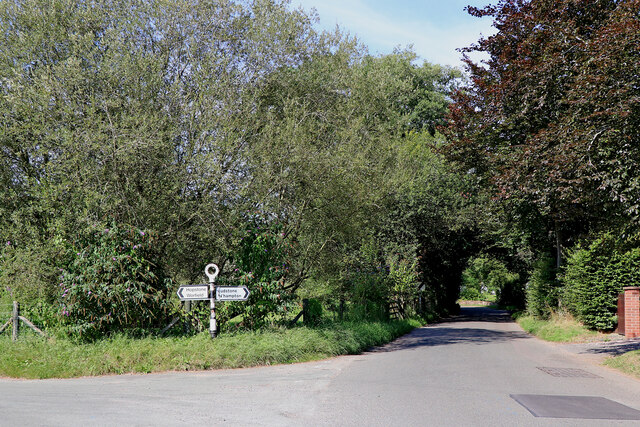
Image: © Roger Kidd Taken: 8 Sep 2021
At the north end of Church Street in Claverley is the junction where Digbeth Lane (or Hopstone Road; maps can't agree) leads off to the left. Image]
Images are licensed for reuse under creativecommons.org/licenses/by-sa/2.0
Image Location
Latitude
52.541027
Longitude
-2.307085