Pasture and woodland north-west of Claverley
Introduction
The photograph on this page of Pasture and woodland north-west of Claverley by Roger Kidd as part of the Geograph project.
The Geograph project started in 2005 with the aim of publishing, organising and preserving representative images for every square kilometre of Great Britain, Ireland and the Isle of Man.

There are currently over 7.5m images from over 14,400 individuals and you can help contribute to the project by visiting https://www.geograph.org.uk
Pasture and woodland north-west of Claverley
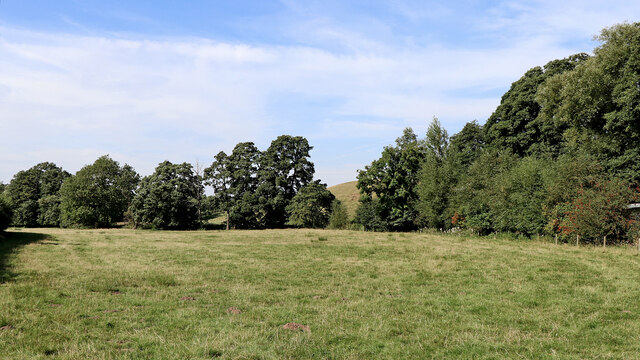
Image: © Roger Kidd Taken: 8 Sep 2021
Looking north-west from Digbeth Lane (also mapped as Hopstone Road). Claverley Brook flows away from the camera at the far end of the field.
Images are licensed for reuse under creativecommons.org/licenses/by-sa/2.0
Image Location
Latitude
52.5421
Longitude
-2.309599