Gateway to blocked track from road bend near Bentinck Cottage
Introduction
The photograph on this page of Gateway to blocked track from road bend near Bentinck Cottage by Roger Templeman as part of the Geograph project.
The Geograph project started in 2005 with the aim of publishing, organising and preserving representative images for every square kilometre of Great Britain, Ireland and the Isle of Man.

There are currently over 7.5m images from over 14,400 individuals and you can help contribute to the project by visiting https://www.geograph.org.uk
Gateway to blocked track from road bend near Bentinck Cottage
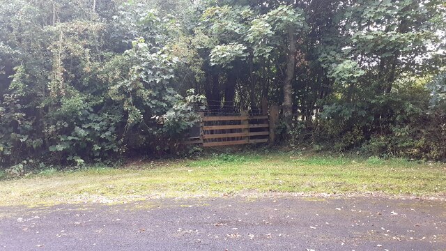
Image: © Roger Templeman Taken: 9 Sep 2021
There is an Ordnance Survey benchmark Image on the inside face of the gatepost at the right hand side of the gate. The track has been blocked because of subsidence danger arising from gypsum mining
Images are licensed for reuse under creativecommons.org/licenses/by-sa/2.0
Image Location
Latitude
54.852227
Longitude
-2.841654