Quakers? Yard: pipeline over the Taff
Introduction
The photograph on this page of Quakers? Yard: pipeline over the Taff by Chris Downer as part of the Geograph project.
The Geograph project started in 2005 with the aim of publishing, organising and preserving representative images for every square kilometre of Great Britain, Ireland and the Isle of Man.

There are currently over 7.5m images from over 14,400 individuals and you can help contribute to the project by visiting https://www.geograph.org.uk
Quakers? Yard: pipeline over the Taff
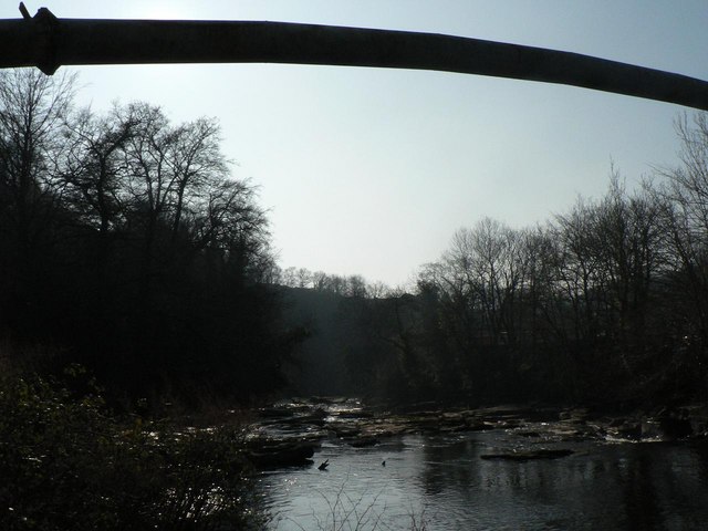
Image: © Chris Downer Taken: 18 Feb 2008
A pipe crosses the River Taff (Afon Taf) near the confluence of the Bargoed Taff (Bargod Taf – only the Welsh version is named on the map, unlike the Taff itself).
Images are licensed for reuse under creativecommons.org/licenses/by-sa/2.0
Image Location


Leaflet Map data © OpenStreetMap
Latitude
51.659544
Longitude
-3.30773