Cycle route, Broadlands
Introduction
The photograph on this page of Cycle route, Broadlands by eswales as part of the Geograph project.
The Geograph project started in 2005 with the aim of publishing, organising and preserving representative images for every square kilometre of Great Britain, Ireland and the Isle of Man.

There are currently over 7.5m images from over 14,400 individuals and you can help contribute to the project by visiting https://www.geograph.org.uk
Cycle route, Broadlands
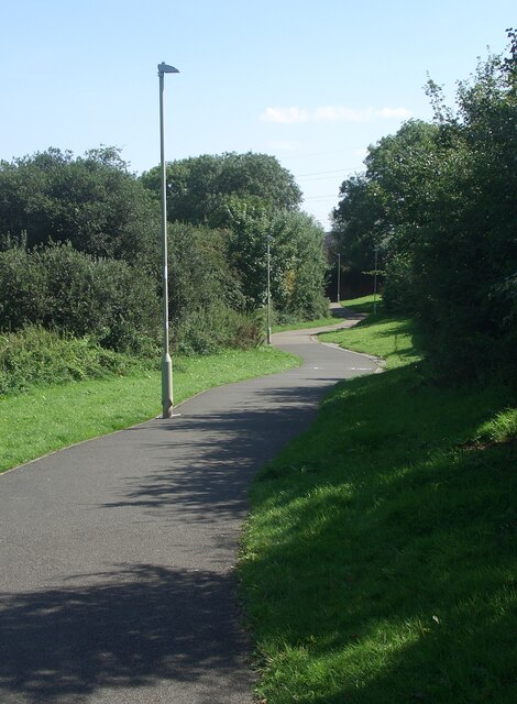
Image: © eswales Taken: 24 Aug 2021
A cycle route meandering along a pleasant green corridor in the west of Broadlands. The path runs to the centre of the Bridgend suburb and, thereafter, towards the centre of the town itself. Note that this image is of the more northerly of two branches which maps indicate the cycle route at Broadlands divides into to the west of the B4622.
Images are licensed for reuse under creativecommons.org/licenses/by-sa/2.0
Image Location
Latitude
51.502506
Longitude
-3.607526